
















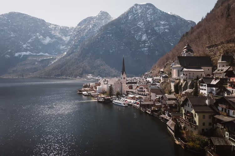
April in the Austrian mountains: snow, avalanches and how to return on time
In Austria's valleys, trees bloom in April while snow still lies in the mountains. The avalanche bulletin here is updated daily, and conditions change within hours. In the morning, the crust supports your weight; by midday, it turns wet and loose. Route reports, elevation, and the avalanche bulletin matter more for a hike than physical fitness. Below are ten checks worth completing before you leave the house. They don't cancel your hike; they help you get back before dark. Plan with a buffer and don't get fixated on the summit.
Ad: this article contains affiliate links, we earn a commission if you book through them, at no extra cost to you.
Check route reports
💡 In short:
- Verify trail conditions and closures on the official Austrian Alpine Club pages
- Determine the current snow line using the forecast, webcams, and reports
- Read the avalanche bulletin for your region
- Set a turnaround time before leaving the house
- Route reports and avalanche bulletin: 09/2026, verified on avalanche.report
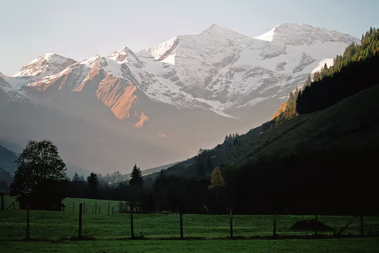
In April, the same route in Austria can be wintry in the morning and springlike after lunch. So before choosing a trail, check fresh reports on path conditions. The official Alpenverein pages and federal state warning services note residual snowfields, avalanche cones, washed-out bridges, and temporary closures. Reports also show maintenance schedules. Logging, cable replacement, and detours change landmarks and your travel time.
Local updates help you assess hazards soberly. Meltwater undercuts trails and triggers small rockfalls. Overnight freezing turns shaded slopes into hard ice, which requires crampons and extra time. Alpenverein maintains the list of active closures (verified 12.09.2026 on the official website).
Reports also mention wildlife encounters. In spring, roe deer and chamois descend to lower elevations, and grouse take off right from the trailside. Calm behavior, a short leash, and keeping your distance reduce the risk. If a trail is closed, don't look for a random detour: choose a different valley.
Choose elevations below the snow line
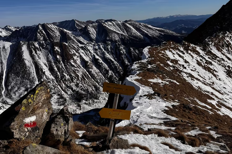
In April, hiking in Austria is most constrained by the snow line elevation. On north-facing slopes, snow persists several hundred meters lower than on south-facing ones. Stay below this boundary and choose valleys and lower slope trails. There, the ground is usually already free of snow, and water drains faster.
Where the snow line is
The snow line in April shifts every day. Decide based on the weather: fresh snow, wind slab, and overnight frost push the boundary lower. Also account for microclimate. In the forest, snow melts earlier, while open karst plateaus and ridges hold hard snow longer. Old snowfields hide holes, streams, and unstable crust. Falls happen on short steep traverses. Before heading out, check the GeoSphere Austria forecast, regional webcams, and trail condition reports. Then set a conservative turnaround elevation.
Choose valleys and slope trails
Upper ridges in April are still wintry, while valleys and forest sections are more reliably passable. Routes along rivers, farm roads, and mixed forest reduce avalanche exposure. You're less likely to break through old snow. Rely on fresh observations. Shaded couloirs hold hard icy sections, while south-facing slopes turn to slush by midday. Boots with tread, gaiters, and poles add stability. Microspikes come in handy if overnight frost is forecast. Start early, avoid steep grassy traverses in wet conditions, and tie your turnaround time to afternoon showers. Lower elevations offer long panoramas without entering the alpine zone. Check local closures and stream water levels. Some trailheads aren't served by bus, and a rental car helps: find a car on DiscoverCars.
Check the avalanche bulletin before heading out
Before an April hike above the treeline, check the daily avalanche bulletin. This is a basic risk-control step. Regional services in Tyrol, Salzburg, and Styria publish the danger level, avalanche problem type, and elevation zones of instability. Extract four points from the bulletin and apply them to your map and terrain:
- Danger level on the five-point European scale and its territorial boundaries. Level 3 "considerable" serves as a clear stop signal for steep snow slopes (per avalanche.report, 09/2026).
- Problem type: wet snow, persistent weak layer, wind slab, along with the indicated aspects and elevations.
- Text recommendations: likelihood of release, expected size, and typical terrain traps.
- Fresh observations: new snow, wind, temperature trend, and avalanches that have already released.
If observations on the route contradict the bulletin, adjust your plan conservatively. Daily bulletins for Austria and neighboring regions are collected on the avalanche forecast page. Don't go onto steep slopes until you understand the current level.
Start early: denser snow, less wind
After the avalanche bulletin, also check your departure time. April in Austria brings a pronounced daily melt-freeze cycle. Start early to catch firm, frozen snow on north- and east-facing slopes. This way you sink in less and spend less time exposed to wet avalanches. Their activity increases from late morning into the afternoon.
Plan to leave steep sunny slopes before noticeable warming. Especially below rock bands and in couloirs, where sluffs and loose wet slides accumulate. Check snow hardness by probing with a pole and noting boot penetration depth as you gain elevation. In the morning, wind is usually calmer, before convection starts and spring showers arrive.
Dress in layers for April swings
April in Austria shifts from a frosty morning to a warm midday and sudden showers above the treeline. A disciplined layering system maintains body temperature and limits sweat, which chills you in the wind. For hikers, layers are not a convenience but a working safety tool, especially on the ridges of the Northern Limestone Alps and windy Tyrolean passes.
- A moisture-wicking merino or synthetic base layer that fits close keeps skin dry on steep forest climbs.
- A mid layer of fleece or thin wool with a full zipper smooths out temperature drops when shade returns.
- A windproof outer layer reduces heat loss on exposed ridges and during brief hail.
- Ventilation, meaning zippers, cuffs, and removable layers, lets you regulate heat quickly at rest stops.
Frequent adjustment to the weather and your exertion helps avoid hypothermia after sweaty breaks. It reduces risk during sudden changes in visibility and temperature. Keep dry gloves and a hat within reach.
Pack your backpack for April: warmth, rain, sun
In April, a morning start can be near freezing, while afternoon sun and sudden showers arrive without warning, especially in the foothills and on north-facing slopes. Your backpack needs compact layered warmth (insulation, dry spare socks) and reliable rain protection (a membrane jacket and a pack cover). Sun at altitude also demands: glasses, sunscreen, and a brimmed cap reduce glare from snowfields.
Situation | Gear |
|---|---|
Valleys and forest below the snow line | Boots with tread, gaiters, poles |
Shaded sections and short snowfields | Microspikes, poles, gloves |
Above the treeline | Microspikes and avalanche transceiver, avalanche bulletin |
Swollen stream crossings and mud | High boots with membrane, spare socks |
Warm layers for the morning
Although daytime in April can be warm, trailheads in the morning sit around freezing, especially in shaded valleys and above the treeline. So plan for a cold start and quick warming on steep forest roads. A compact vest or jacket helps at stops. Thin gloves and a hat reduce heat loss and don't interfere with using poles or reading a map.
- Light down or synthetic jacket for breaks, not for the climb
- Spare socks in a dry bag
Rain and sun protection
Even with a stable forecast, an April hike in Austria often moves between short showers, gusts on the ridge, and bright sun reflecting off late snow. You need a combined strategy. A membrane with taped seams, an adjustable hood, and a storm flap keeps you from cooling down in a quick shower, while a single soft layer without a membrane often soaks through. Bring a light cover or liner for your backpack, quick-drying gloves, and a cap that fits under the hood. For sun, you need UV-filter glasses, high-SPF sunscreen for face and ears, and a brimmed hat for open sections. Apply sunscreen in advance, reapply after sweating, and keep your insulation dry.
Wear boots with good tread
A pair of boots with good grip becomes essential when daytime warmth turns forest paths into slippery mud and shaded sections into wet frozen snow. A sole with deep self-cleaning tread reduces the risk of falling on muddy and mixed surfaces. A supportive midsole and stiff heel counter help you control foot placement on wet roots, rocks, and short snowfields, as is common below the treeline in Tyrol, Salzburg, and the Salzkammergut. A membrane limits cooling from meltwater, and a precise fit prevents blisters on long descents.
- Soft valley trails where the boot sinks and slides sideways
- North-facing couloirs where granular snow lies on an icy crust
- Stream crossings swollen with meltwater that immediately soak low-cut footwear
- Steep grassy traverses where moisture-saturated grass is slippery
Before the trip, check your soles for wear and re-lace for stability on descents. If conditions deteriorate, turning around remains your most reliable decision.
Keep offline maps and GPS, paper as backup
Orientation is equally important for safety. In April, residual snowfields and storm debris often cover trail markings and signs at junctions. So download offline maps in advance: topographic base, contour lines, and trails. Keep your phone in airplane mode so the cold wind doesn't drain the battery. Put an external battery and a short cable in your backpack. Warm storage close to your body reduces voltage drop. A dedicated GPS unit provides backup if your phone gets wet, freezes, or enters emergency mode. Check its firmware and fresh batteries.
Save coordinates of trailheads, exits, and transit stops as waypoints. In addition to electronics, a laminated topographic map and a simple compass provide reliable cross-checking. This saves you in fog, in windthrow in the forest, or when signal is lost.
Cross snowfields safely or turn around
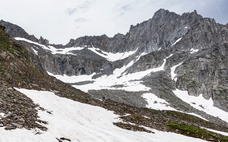
April sun melts valley trails, but shaded couloirs and north-facing traverses hold hard steep snowfields. On these, a fall accelerates immediately, and self-arrest without equipment is nearly impossible. Such terrain includes icy couloirs, hidden voids near rock bands, and undercut edges above a cliff or stream. A safe crossing requires firm morning snow, a clean runout below, and skill with tools.
- Check snow depth with a pole and listen for a hollow sound over melt channels.
- Assess steepness and consequences: convex slopes, open runouts, and terrain traps require caution.
- Use microspikes or crampons with an ice axe only if you have the skill; don't use improvised steps.
- Work with a turnaround strategy: move to less exposure, wait for softer snow, or decisively turn back. If you doubt your self-arrest ability, choose a simpler detour.
 © mjhbower · CC BY-SAPhoto: mjhbower, CC BY-SA (https://creativecommons.org/licenses/by-sa/2.0/), Flickr
Share your route and set a strict turnaround time
In April, share a specific plan with a reliable contact. State the trailhead, intended summits, key points, and likely return time. Spring melting quickly raises danger and slows movement. Daylight in April lasts about 13-14 hours, but on wet snow that buffer melts fast. When the turnaround time arrives, turn back and inform your contact of the plan change.
How to share your route
Before heading onto an April trail, give a reliable person your route line, start time, expected return, and a hard turnaround time that is non-negotiable. Sharing your route and staying in touch with a contact reduces response time if the group is delayed by wet avalanches, swollen streams, or a navigation error in fog. The message should be specific enough that a local rescuer could picture your likely positions along the line.
- Planned ascent and descent route, plus backup options to huts or into the valley
- Map link, GPX track, and likely no-signal zones
- Group composition, gear (microspikes, avalanche transceiver if snow), and parking location
- Check-in protocol: when to call and whom to alert if there's no contact
How to choose a turnaround time
Conditions in April change within hours: from supportive spring snow to dangerous wet avalanches. So set a fixed turnaround time in advance and share it with the same contact. Tie the time to objective limits: sunrise and sunset, lift operating hours, and the last safe passage of steep east- and south-facing slopes before meltwater destroys the snowpack. Safety on the route improves when this limit is non-negotiable, even if the summit seems close. Check the weather forecast in the evening and again at the trailhead, especially wind, precipitation type, and the freezing level. If these factors worsen, move your turnaround time earlier. A clear list of triggers (deteriorating visibility, fresh avalanche debris, rising water in stream crossings) supports decision discipline.
Check in advance what your insurance covers for mountain rescue operations: compare mountain insurance terms. Before heading out, save the European emergency number 112 and the Austrian mountain rescue number 140 in your phone.
⁉️🤔 Frequently asked questions
Can you hike in Austria's high mountains in April?
Go by weather and elevation, not the calendar. Up to the treeline there's usually no snow; above it, snowfields persist. Check route reports, webcams, and the avalanche bulletin (as of 09/2026, avalanche.report). Firm morning snow and good visibility make the high mountains passable, but every day is a fresh assessment.
Do you need crampons and microspikes in April?
Sometimes yes. Shaded couloirs and north-facing traverses hold hard snow and ice until midday. Microspikes help on short snowfields, while crampons with an ice axe are only for those with the skill. If you're unsure about self-arrest, go around the dangerous section or turn back.
What makes wet snow dangerous?
Wet avalanches release in the afternoon, when meltwater breaks bonds in the snowpack. They're hard to trigger in advance, so the only protection is an early start and leaving steep slopes before warming. Watch for rising water in stream crossings and fresh avalanche debris.
What turnaround time should you set?
Tie it to sunset, lift operating hours, and the last safe passage. Build in a buffer for slower progress in mud and snow. If you're more than an hour from the planned point and the snow is already wet, turn around. Tell your contact about any plan change.
Is April hiking suitable for beginners?
Simple valley routes are suitable for beginners. The high mountains require navigation, gear, and avalanche hazard assessment. Start with forested trails below the snow line, and save difficult sections for summer or go with a guide.
In short: what to book
An April hike in the Austrian Alps requires preparation, not bravado. Check reports, elevation, the avalanche bulletin, and your turnaround time. For logistics, decide two things in advance: how you'll get to the trailhead and what your insurance covers.
- If there's no bus to the trailhead: book a car in advance.
- If you're going above the treeline: add microspikes and an avalanche transceiver.
- If you want confidence in the mountains: check mountain rescue coverage.

A small editorial team writing guides for independent travel. We travel ourselves, but we haven’t been everywhere, so we check prices, opening hours and how to get there against official sources.